题目内容
Geography is the study of Earth and its climates. Scientists use it to study global warming and track the weather. Governments use it to learn where people live and work and to plan what to do with the land. It is now easier than ever to use geography because of a science called space technology.
The United States launched its first satellite in 1958. Some space missions that followed were geographical studies. In fact, earth science is a big part of the work of the National Aeronautics and Space Administration (NASA).
Astronauts looked out of the space shuttle. They decided to take photographs of Earth from their vantage point. Over the years, picture quality improved. Shuttle photography now shows land features, such as rivers. It can even show the streets of large cities. Photos of the same places at different times show how the land is changing.
NASA does not use just photographs, though. In 1958 it launched TIROS (the Television Infrared Observation Satellite). This first use of a satellite to study Earth was effective in giving weather forecasts. It led to the creation of new space tools to use in geography.
The Landsat Program began in 1972. This satellite sent detailed views of Earth from space. The pictures were so precise that scientists could count the number and kinds of crops in a field. Landsat showed where Earth’s surface had faults along which earthquakes might happen. This information helped in the planning of new cities and factories. Landsat also made discoveries. In Antarctica it located ranges of unknown mountains. It pinpointed small lakes in Virginia that were no ton maps. Landsat, now more advanced, still flies today.
Another space tool is Earth Observing-1 (EO-1). This spacecraft flies right behind Landsat. It takes pictures of the same sites. The two sets of pictures, viewed together, show how cities grow and how other places, such as rain forests, become smaller over time. This helps scientists learn how people affect geography.
One of the newest space tools is the Geographical Information Systems (GIS). GIS is computer software that helps scientists to study Earth. GIS is different from earlier space tools. Businesses, schools, and even average people — not just the government —can use it to show them how changes in the planet might affect them.
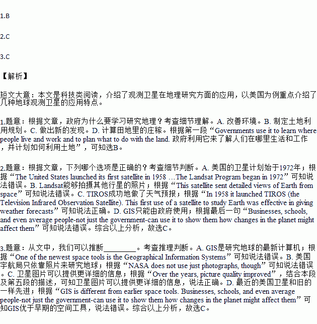
1.Why do governments study geography according to the passage?
A.To improve the environment. B.To make the land use plan.
C.To make new discoveries. D.To count the crops in a field.
2.Which of the following is true according to the passage?
A.The U.S. satellite program began in 1972. B.Landsat was able to take pictures of other planets.
C.TIROS was successful in giving weather forecasts. D.GIS can only be used by the government.
3.From the passage, we can infer that ________.
A.GIS is the newest computer to study Earth
B.NASA only depends on photos to study Earth
C.satellite pictures can give more detailed information
D.recent U.S. satellites are as advanced as the old ones
 ABC考王全优卷系列答案
